|
|||||||
|


|
|
|
About Hardwick, the RAF and the USAAF
RAF Hardwick is a former World War II airfield in England. The field is located near the village of Topcroft , 5 miles (8 km) west of Bungay in Norfolk and a similar distance from the A140 main road from Norwich to Ipswich. (See MAPS page).
Hardwick Airfield was one of the early USAAF heavy bomber airfields constructed for the RAF during 1941-42 in the East Anglian area. It was built by John Laing & Son Ltd., and required 4 miles (6 km) of surface drains (French drains), 13 miles (19 km) of drains, 13 miles (19 km) of roads, 5 miles (8 km) of sewers and 7 (11 km) of water mains. A total of 4,750,000 bricks were used in the construction of the camp. |
|
|||||||
|
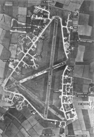
1942 image from Wikipedia. |
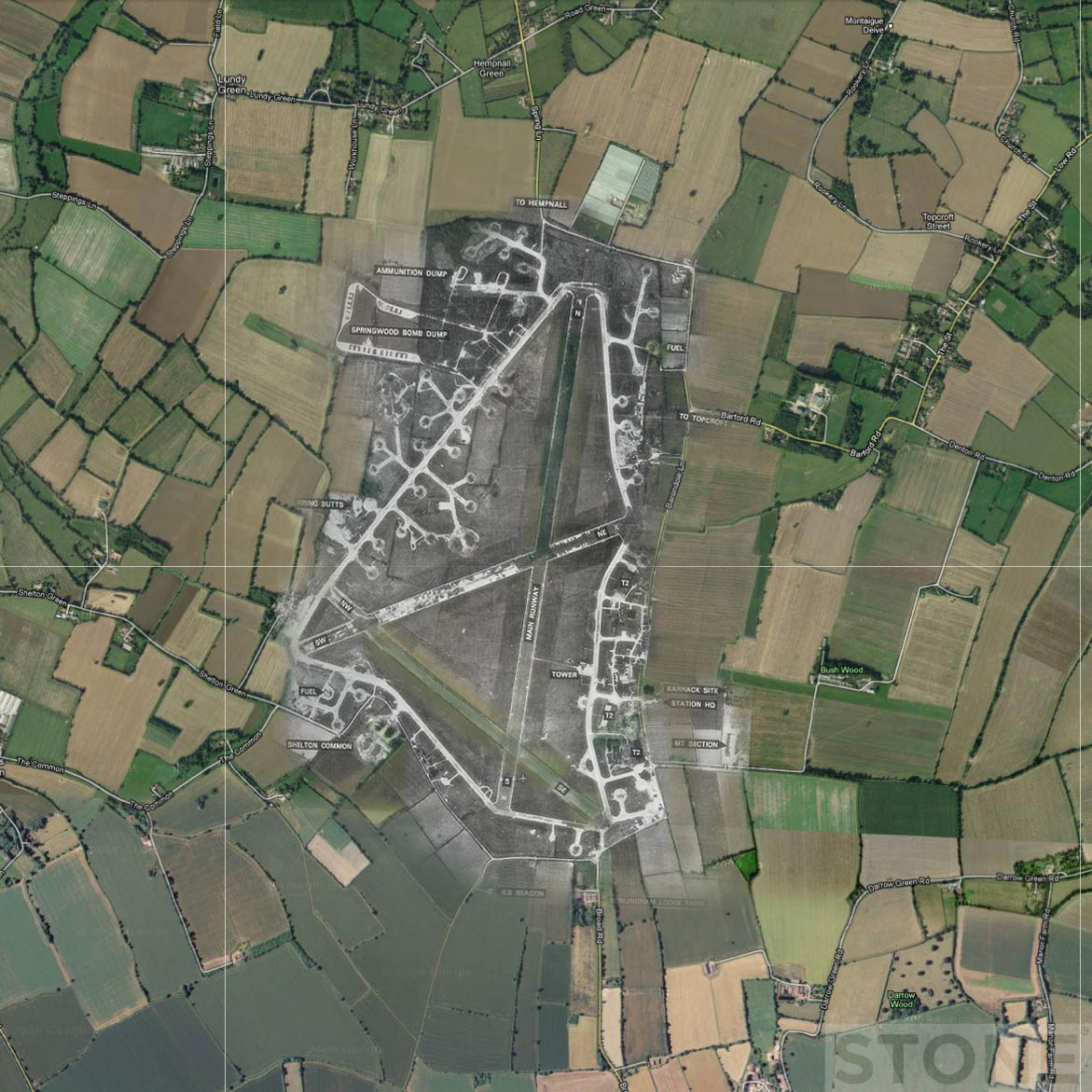
The photo opposite shows the main runways at Hardwick Airfield but not the accommodation area where the 93rd Bomb Group Museum is sited. The accommodation area is to the east/right of the map along the road marked 'to Topcroft Street'. See also the MAPS page.
The 1942
aerial photo opposite overlaid
|
|||||||
Hardwick airfield in 2012In 2017 Hardwick airfield is still in use: runway 13-31 and an adjacent grass strip 17-35. There is a further grass airstrip at Airfield Farm, slightly to the east.
|
||||||||


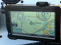 Hardwick,
GPS in a
Hardwick,
GPS in a 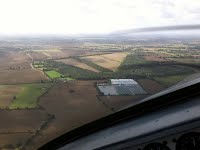 Hardwick
from the north
Hardwick
from the north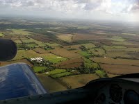 Hardwick
from the south-east
Hardwick
from the south-east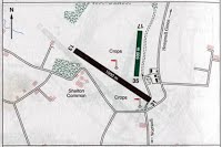 Hardwick
runway plan
Hardwick
runway plan|
If you found us by mistake please stay and enjoy, then bookmark our url. 93rd Bombardment
Group Museum, Station 104, Hardwick, Norfolk, UK. |