|
|
Smartphone
and tablet condensed version. |
|
|
|
|


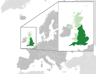
England, UK, |
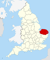
The county
of Norfolk |
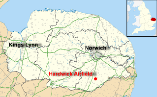
Hardwick
Post Code: NR35 2BA Lat: 52.470913
- 52° 28' 15.2868" What3words: ///butlers.joys.flopping (access
road, White Gates)
OK, let's assume that you are already in the UK and in Norfolk or Suffolk. From NorwichTake the A140 south towards Ipswich. About 10 miles (16km) south, after the village of Tasburgh, turn left onto the B1527 (formerly B1135) east towards Bungay. Then see below *
From IpswichTake the A140 north towards Norwich. About 1 mile (1.5km) north of Long Stratton, turn right onto the B1527 (formerly B1135) east towards Bungay. Then see below *
From the eastHead for Bungay in Suffolk. Follow the complex Google route from Bungay below. **
SatNav (GPS) or NOT ?There are countless other routes along Norfolk's meandering narrow by-ways, so turn off your SatNav (GPS) and just enjoy the countryside. All right then, for those of you who lack a sense adventure here are the GPS coordinates
This may not be strictly to the inch/mm but it'll get you there.
...(cont'd/)
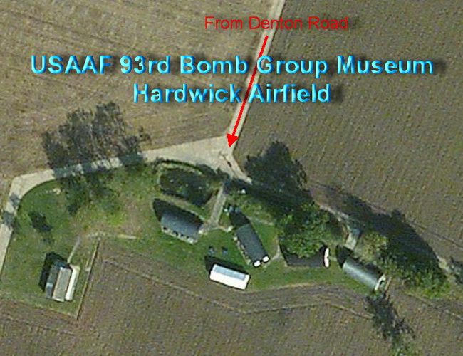
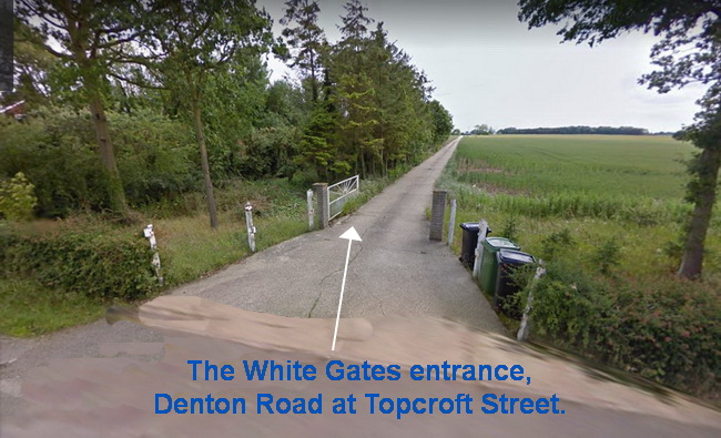
* On the B1527 (formerly B1135) — after leaving the village of Hempnall, turn right in about ½ mile (800m) towards Hempnall (The) Greens along Alburgh Road. Continue for about 1 mile (1.5 km), straight on past the Hempnall "Three Horseshoes" public house on your left. After a further ½ mile (800m), turn sharp left, then sharp right. The airfield is now on your right but don't stop yet. After about 400 yards (metres), turn left into Barford Road towards Topcroft. After a further sharp left and right, keep straight on at the 'T' junction along Denton Road. Don't turn left into Topcroft Street. After about 200 yards (metres), look for some white gates on your right. Turn through this opening onto a private concrete road, which used to be part of the airfield. The 93rd Bomb Group Museum is on the next series of sharp bends. Please drive slowly and carefully. On OPEN DAYS a one-way system may be in operation. See photo below.
Google Maps routesGoogle Maps route from Norwich to Tasburgh / Long Stratton using the A140 and B1527 (formerly B1135). Google Maps route ** from Bungay via the A143, B1132 and Topcroft Street. A pleasant trip along Norfolk's country lanes. The Museum's location
near Topcroft Street The Museum Site. The access road at the
White Gate(s) on Denton Road at the village of Topcroft Street.
To
help you find us look for these panels |
|
Can you help identify
this nose-art? |
You can see more Nose-Art in GALLERY.
|

.jpg)
.jpg?attredirects=0)